How Does Google Maps Predict Traffic?

Google Maps
Smartphone users are helping one another when it comes to sending data to the Google Maps app. Justin Sullivan/Getty Images

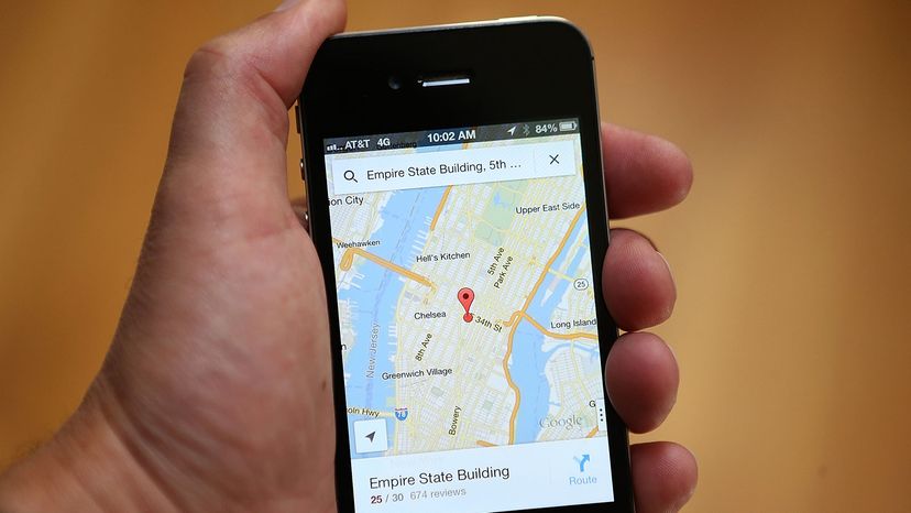
The green, yellow and red routes that Google Maps uses to indicate clear, slow-moving, or heavily congested traffic are a great help when you're trying to determine the fastest way to your destination, but how does Google know the traffic conditions between where you are and where you're trying to go?

Google Maps bases its traffic views and faster-route recommendations on two different kinds of information: historical data about the average time it takes to travel a particular section of road at specific times on specific days and real-time data sent by sensors and smartphones that report how fast cars are moving right then [source: Barth].

Advertisement

Early versions of Google Maps relied only on data from traffic sensors, most of which were installed by government transportation agencies or private companies that specialize in compiling traffic data. Using radar, active infrared or laser radar technology, the sensors are able to detect the size and speed of passing vehicles and then wirelessly transmit that information to a server [sources: Machay, Palmer].

Data from these sensors can be used to provide real-time traffic updates, and, once collected, the information becomes part of the pool of historical data used to predict traffic volume on future dates. However, sensor data was largely limited to highways and primary roads because the sensors were typically installed only on the most heavily traveled or traffic-prone routes [sources: Machay, Matthews, Palmer].

Beginning in 2009, Google turned to crowdsourcing to improve the accuracy of its traffic predictions. When Android phone users turn on their Google Maps app with GPS location enabled, the phone sends back bits of data, anonymously, to Google that let the company know how fast their cars are moving. Google Maps continuously combines the data coming in from all the cars on the road and sends it back by way of those colored lines on the traffic layers [source: Barth].

As more and more drivers use the app, the traffic predictions become more reliable because Google Maps can look at the average speed of cars traveling along the same route without misinterpreting someone's morning coffee stop as a traffic jam. If Google Maps doesn't have enough data to estimate the traffic flow for a particular section of road, that section will appear in gray on the traffic layer [source: Google Help].

With its acquisition of Waze in 2013, Google added a human element to its traffic calculations. Drivers use the Waze app to report traffic incidents including accidents, disabled vehicles, slowdowns and even speed traps [sources: Palmer, Waze]. These real-time reports appear as individual points on Google Maps, with small icons representing things like construction signs, crashed cars or speed cameras.

Advertisement

Google Maps FAQ

Can I use Google Earth without downloading it?
Yes, you can access Google Earth on mobile and your desktop without downloading it. In order to access the Pro version, you have to download it to your desktop computer. All three versions of Google Earth are free to use.
What is Google offline maps?
This feature allows you to download maps of an area while connected to data or a WiFi and save it to your phone so that you can access driving directions while offline at a later point.
How do I use live view on Google Maps?
You can use Live View to navigate, orient yourself, or find a person when you're walking using Google Maps. On your phone open the Google Maps app, enter a destination in the search bar, and tap "Directions." In the travel mode toolbar, tap "Walking" and then hit "Live View" on the bottom center. Follow the on-screen instructions to help Maps figure out your location and then follow the directions it gives you through the camera view on your screen.
Is the Google Maps app free?
Google Maps can be downloaded for free from the app store on both Apple and Android phones. It can then be accessed on your phone by clicking the app icon.
How do I go to Street View in Google Maps?
Open Google Maps and enter a destination in the search bar. If you're using a personal computer, select the photo with a Street View icon on the left. If you're on a mobile device or tablet, scroll down and select the photo labeled "Street View" or the thumbnail with a Street View icon.

Lots More Information

Related Articles

  • Barth, Dave. "The bright side of sitting in traffic: Crowdsourcing road congestion data." Official Google Blog. Aug. 25, 2009. (Aug. 8, 2014) http://googleblog.blogspot.in/2009/08/bright-side-of-sitting-in-traffic.html
  • Google Help. "Traffic View." (Aug. 8, 2014) https://support.google.com/gmm/answer/2840020?hl=en
  • Machay, John. "How Does Google Detect Traffic Congestion?" Houston Chronicle. (Aug. 8, 2014) http://smallbusiness.chron.com/google-detect-traffic-congestion-49523.html
  • Madrigal, Alexis C. "How Google Builds Its Maps – and What It Means for the Future of Everything." The Atlantic. Sept. 6, 2012. (Aug. 8, 2014) http://www.theatlantic.com/technology/archive/2012/09/how-google-builds-its-maps-and-what-it-means-for-the-future-of-everything/261913/
  • Matthews, Susan E. "How Google Tracks Traffic." The Connectivist. July 3, 2013. (Aug. 4, 2014) http://www.theconnectivist.com/2013/07/how-google-tracks-traffic/
  • Palmer, Brian. "How mapping software gathers and uses traffic information. The key element is you." The Washington Post. Feb. 17, 2014. (Aug. 8, 2014) http://www.washingtonpost.com/national/health-science/how-mapping-software-gathers-and-uses-traffic-information-the-key-element-is-you/2014/02/14/693606d4-9263-11e3-b46a-5a3d0d2130da_story.html
  • Payrits, Szabolcs. "Get typical traffic for roads, not just highways." Google LatLong. April 2, 2012. (Aug. 8, 2014) http://google-latlong.blogspot.com/2012/04/get-typical-traffic-for-roads-not-just.html
  • Price, Emily. "Google Maps Now Includes Real-Time Traffic Data." Mashable. March 29, 2012. (Aug. 8, 2014) http://mashable.com/2012/03/29/google-maps-traffic-data/
  • Waze. "Waze Symbols." (Aug. 8, 2014) https://wiki.waze.com/wiki/Waze_symbols
  • Weitz, Jordan. "Arterial traffic available on Google Maps." Google LatLong. Aug. 25, 2009. (Aug. 8, 2014) http://google-latlong.blogspot.com/2009/08/arterial-traffic-available-on-google.html

Advertisement

Loading...